• Category Archives Uncategorized
  • Patallaqta

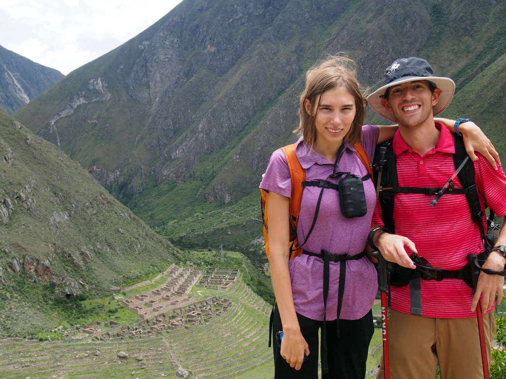
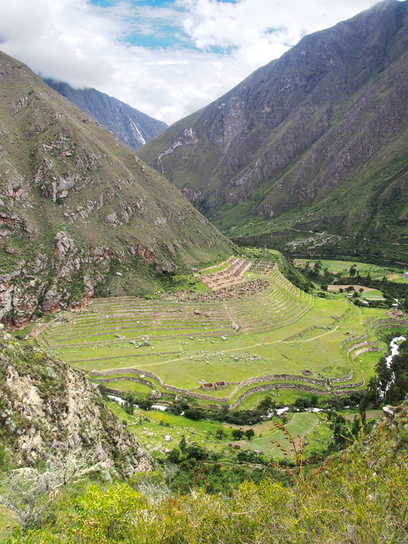
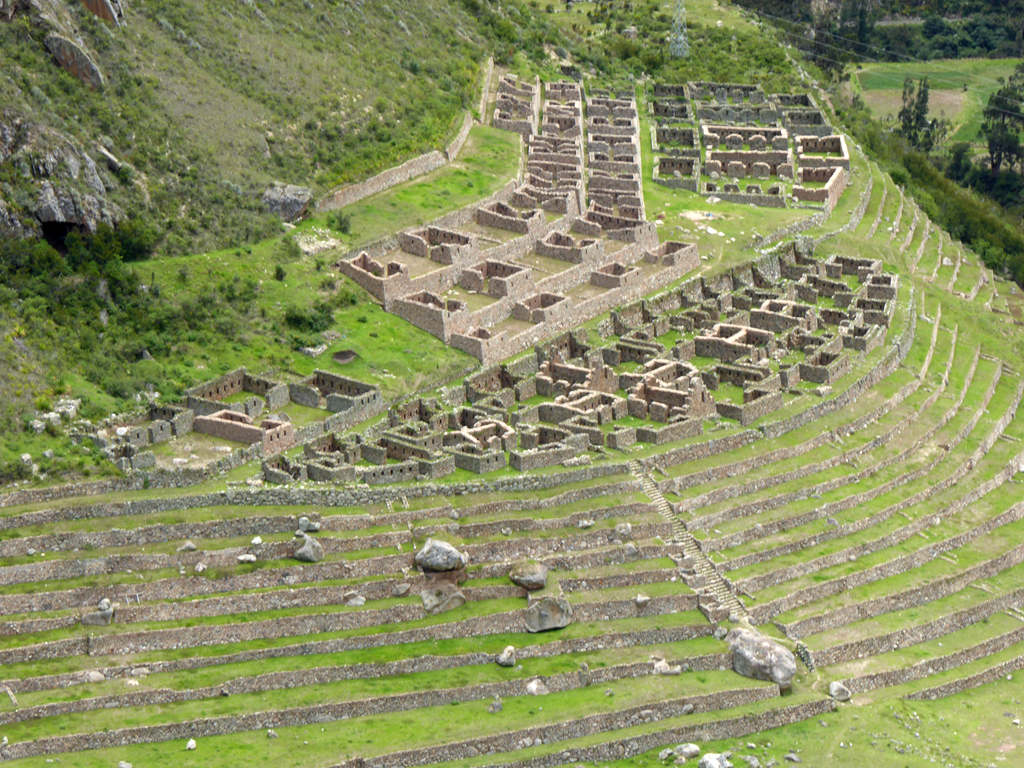
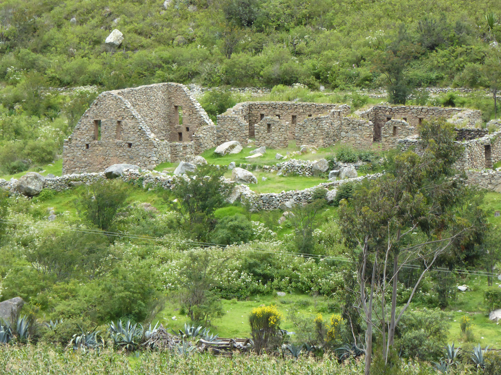
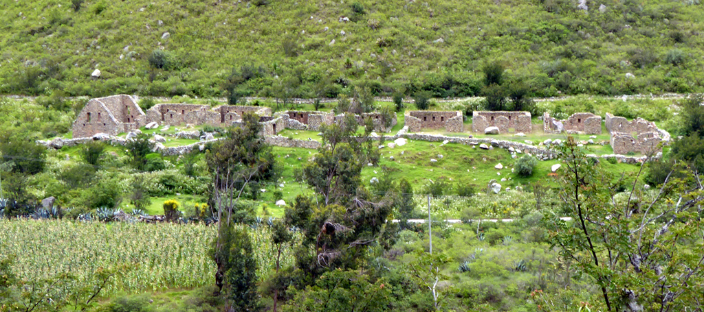
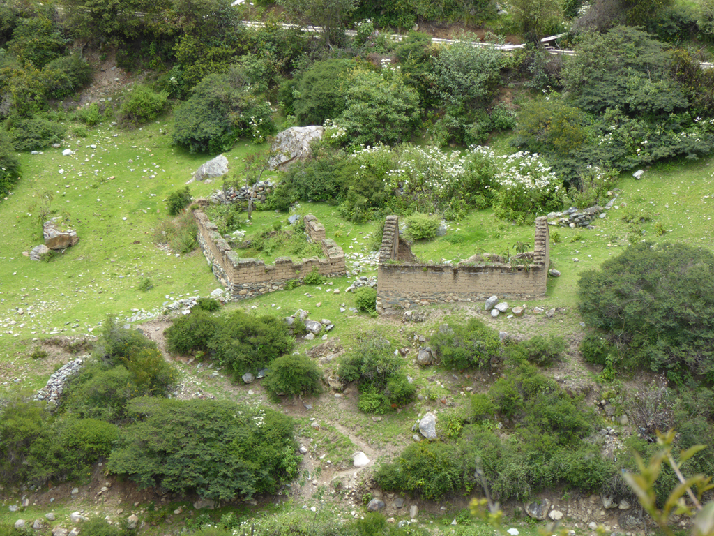
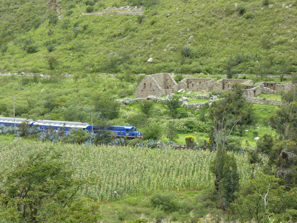
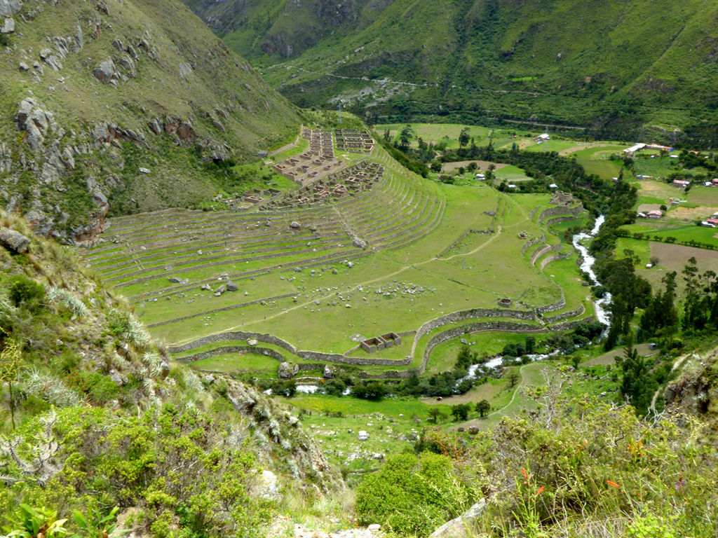
    The first major set of ruins we passed on the Inca Trail was Patallaqta.

    image

    Patallaqta once had about 100 houses which were used by the soldiers that guarded the Willkaraqay Fort on the trail above.

    image

    There were also places for travellers down the trail (like us) to stay overnight.

    image

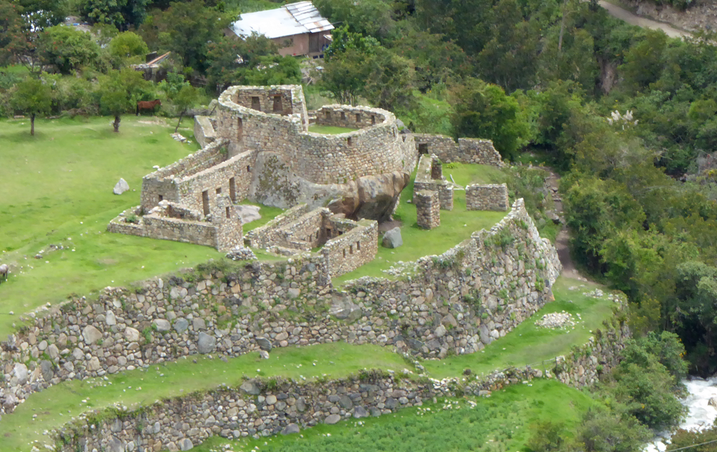
    It also had a small temple, probably to the sun.

    image

    Patallaqta was burned in 1536 by the Incans to prevent the Spanish from following them down the trail.

    image


  • Inca Trail Day 1

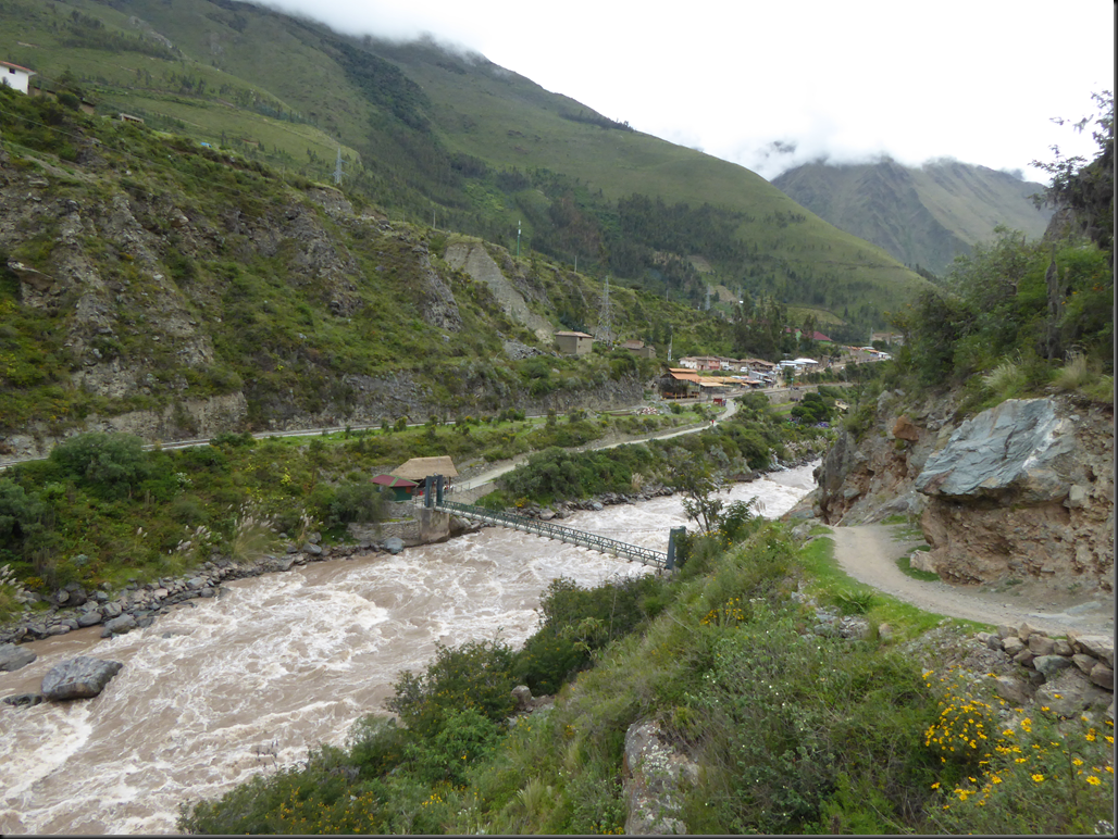
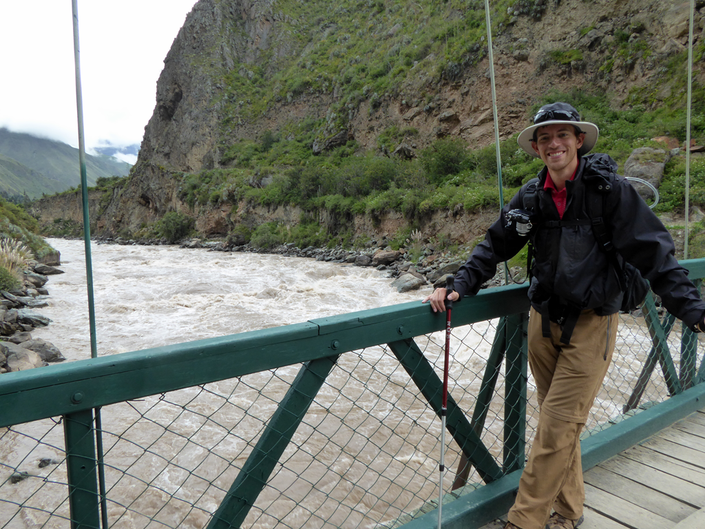
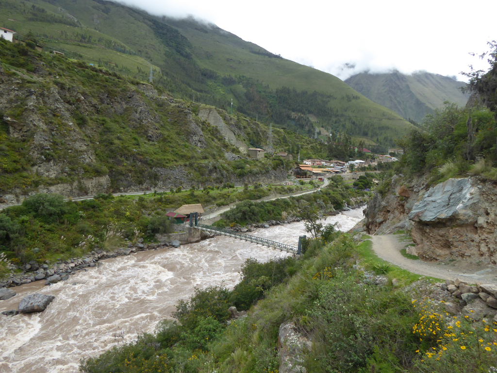
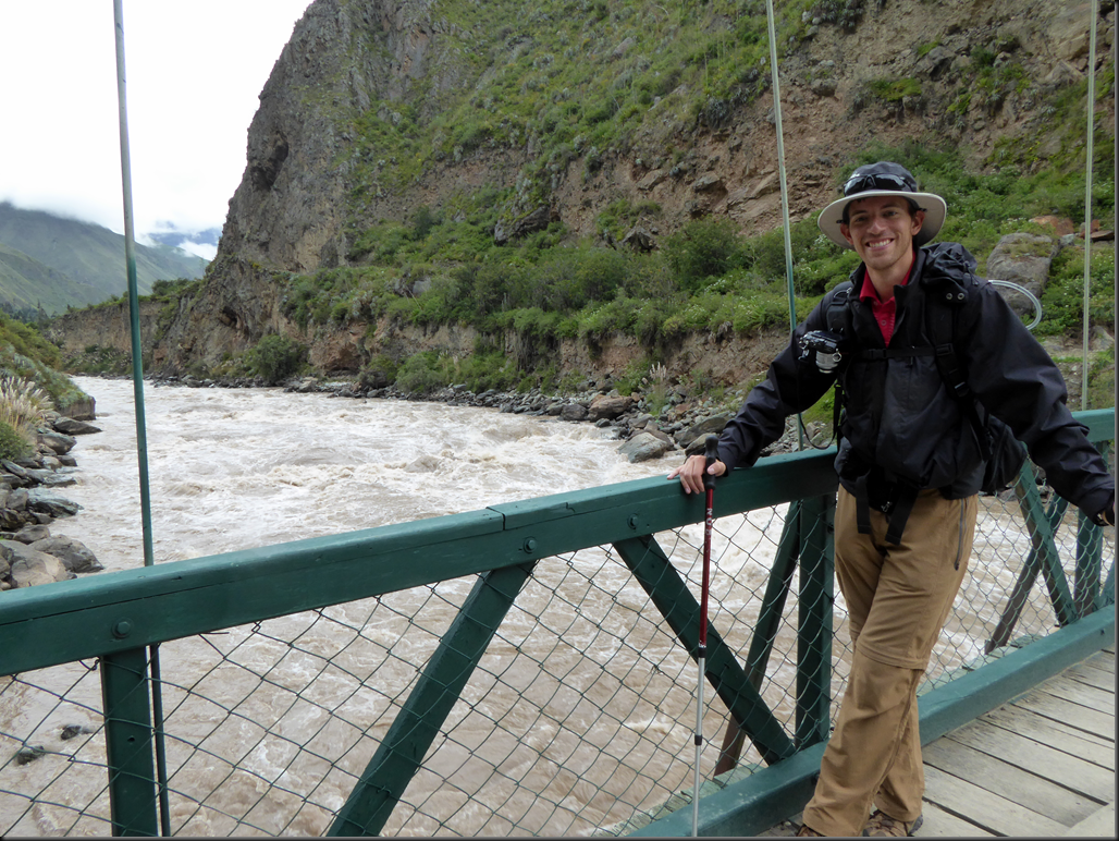
    The trail starts with a bridge across the Urubamba River.
    image

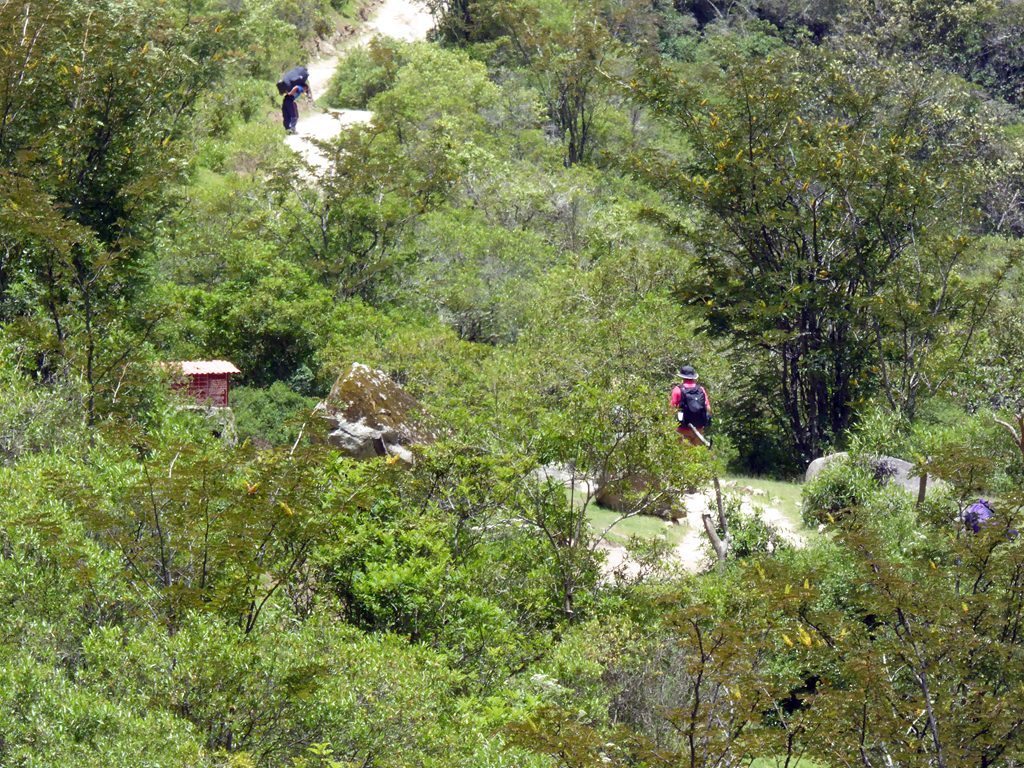
    Then a mostly dirt path begins.

    image

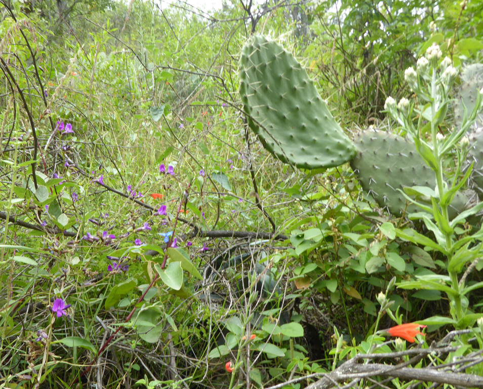
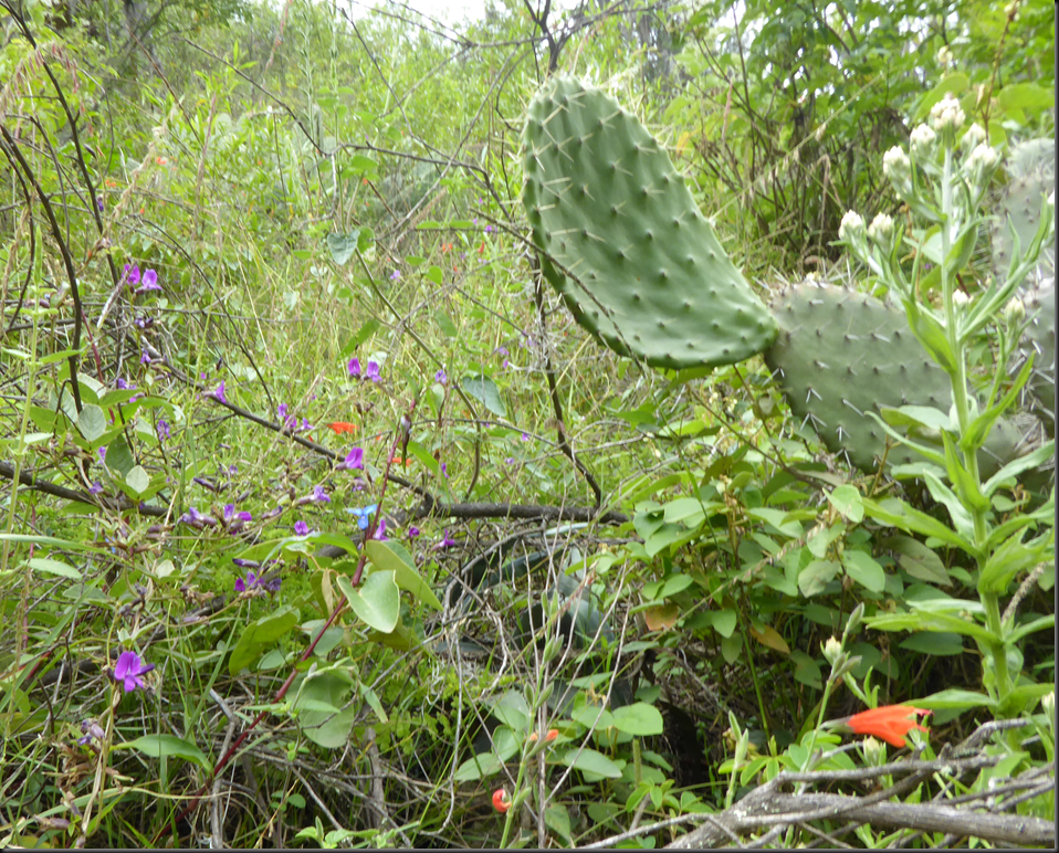
    The path is surrounded by bushes and flowers which are very colourful.
    image

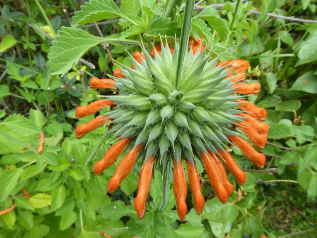
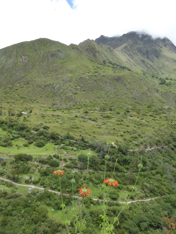
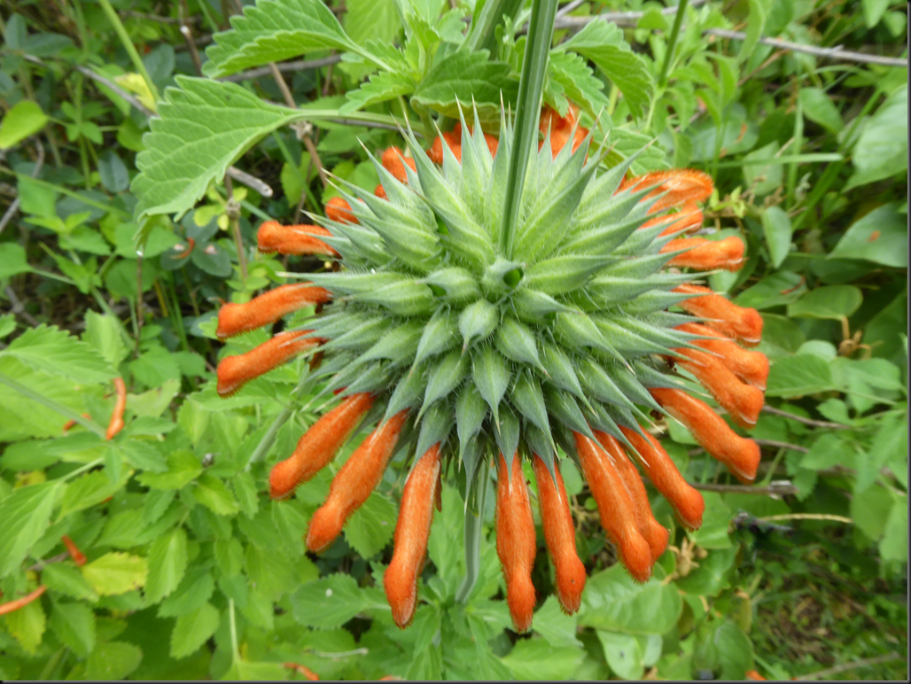
    These round ones are particularly neat.
    image

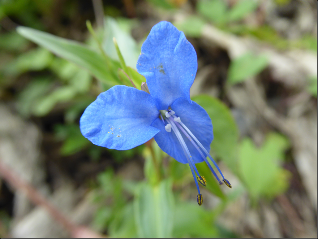
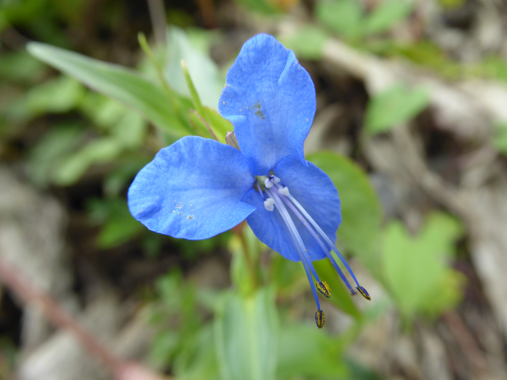
    These blue ones were also pretty.

    image

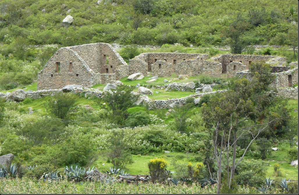
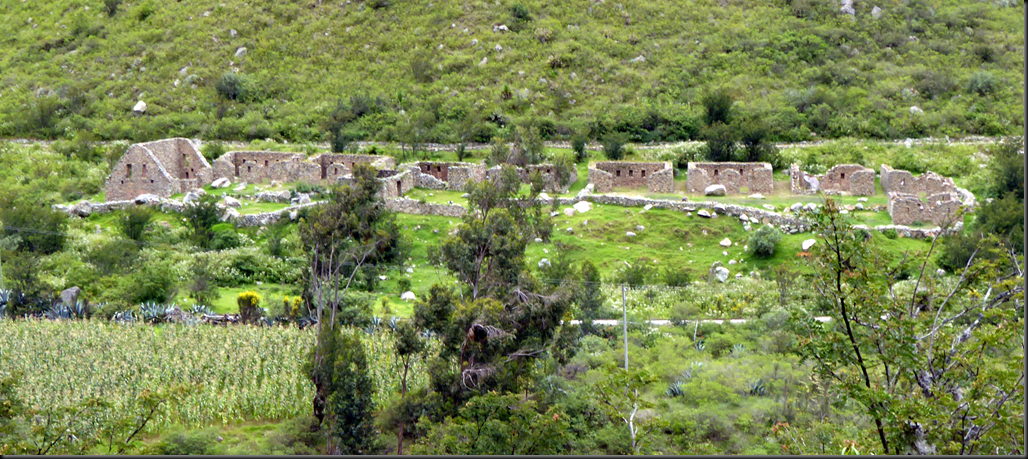
    The first set of ruins we came across was Qoriwayrachina.
    image

    It is just a small cluster of houses, probably used by travellers or guards along the trail.
    image

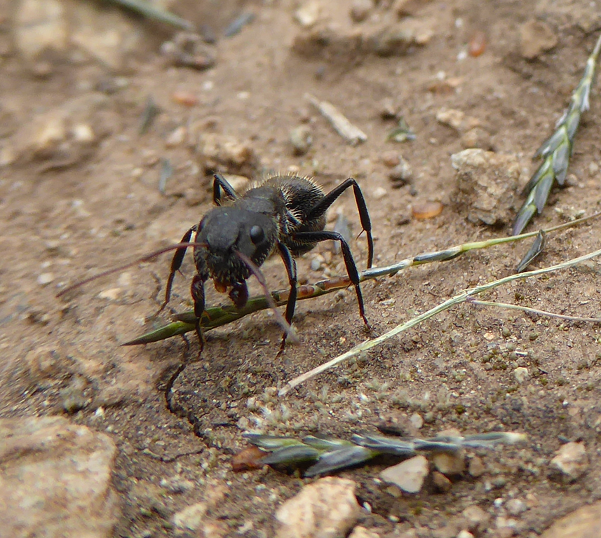
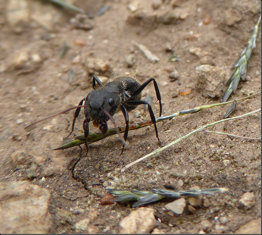
    There weren’t really very many insects. Mostly ants.
    image

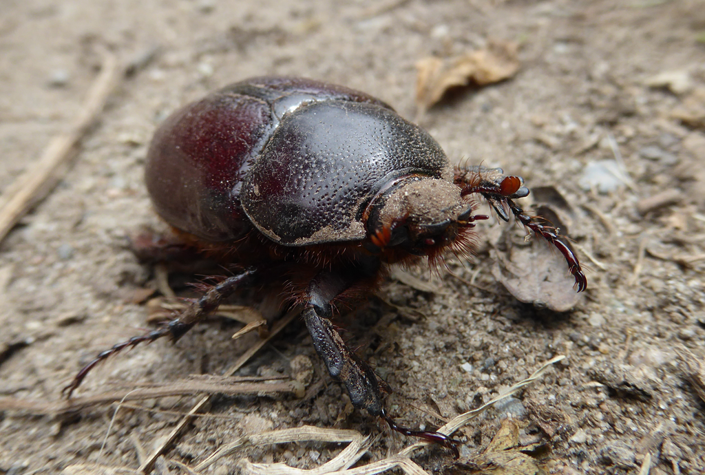
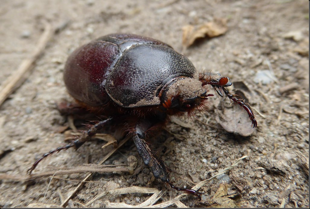
    There was also this giant bug working his way down the path.
    image

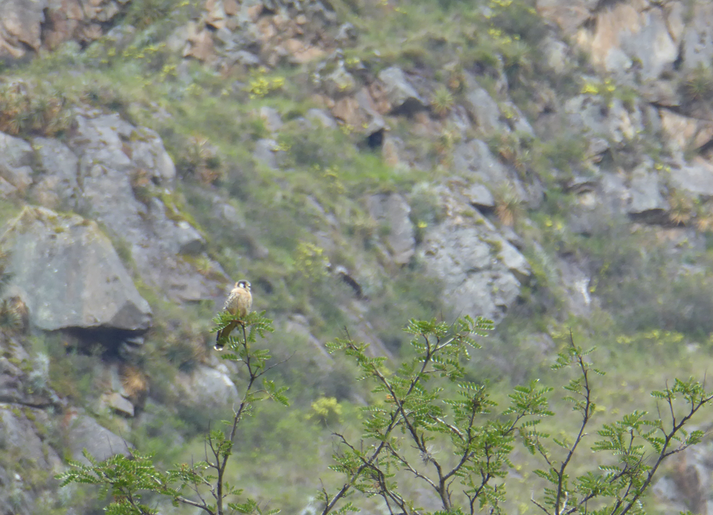
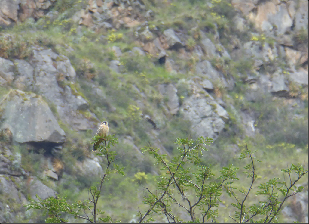
    There were tons of birds chirping, but most of them were hidden or far away or flying.
    image

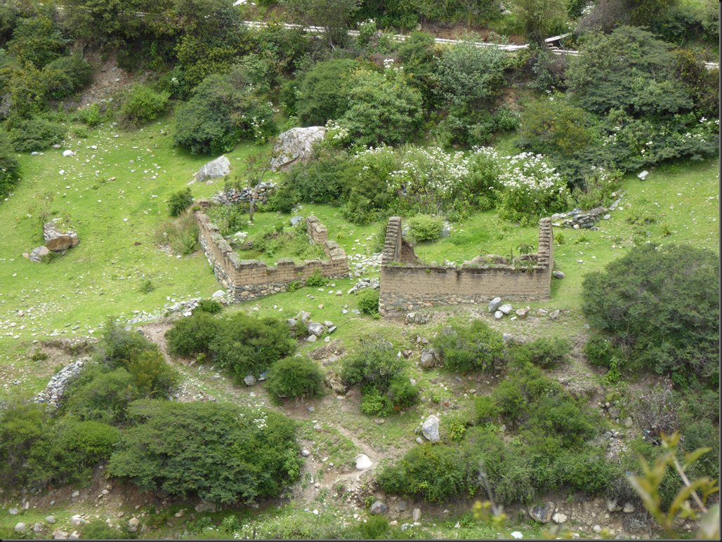
    Here are a couple more Incan buildings.
    image

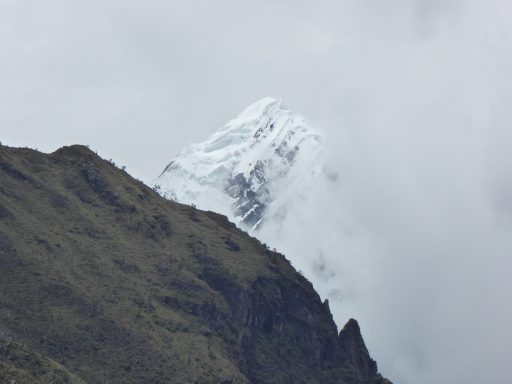
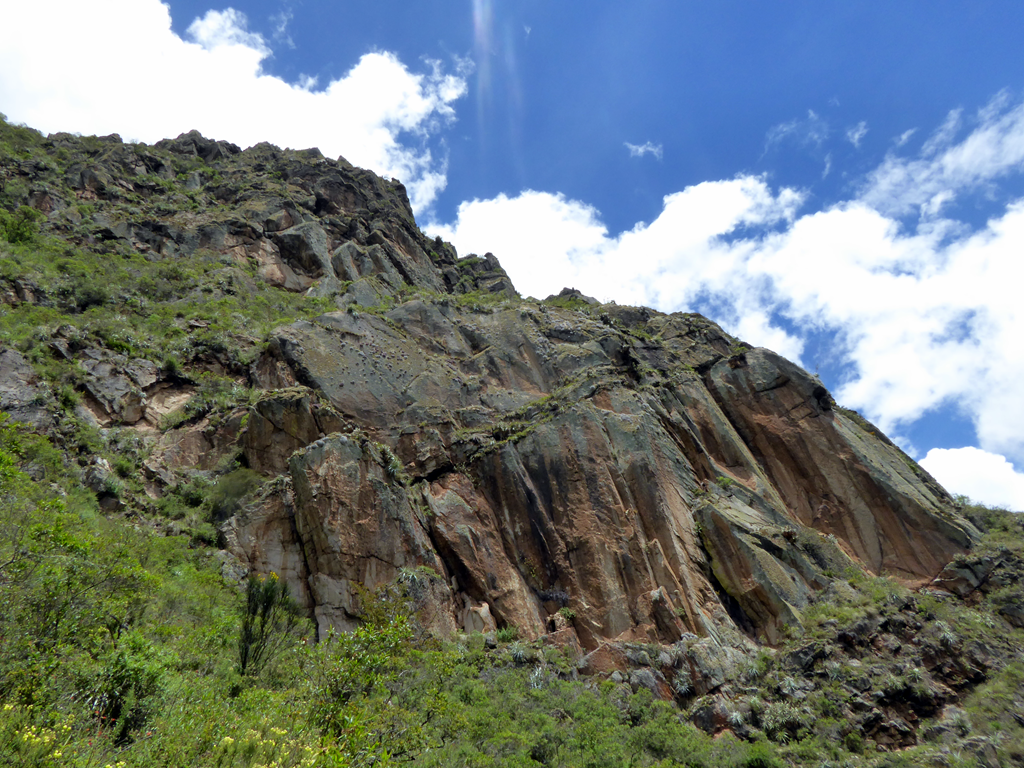
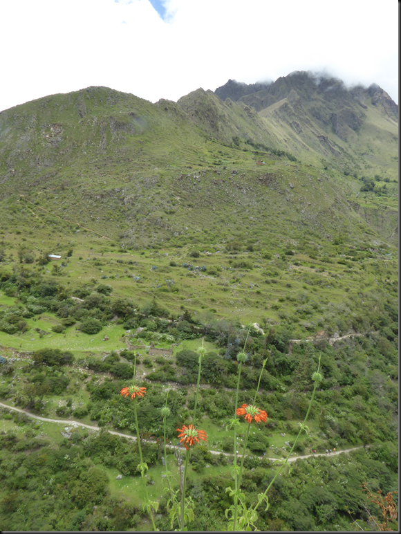
    It was pretty cloudy the first day so the mountain tops were obscured.
    image

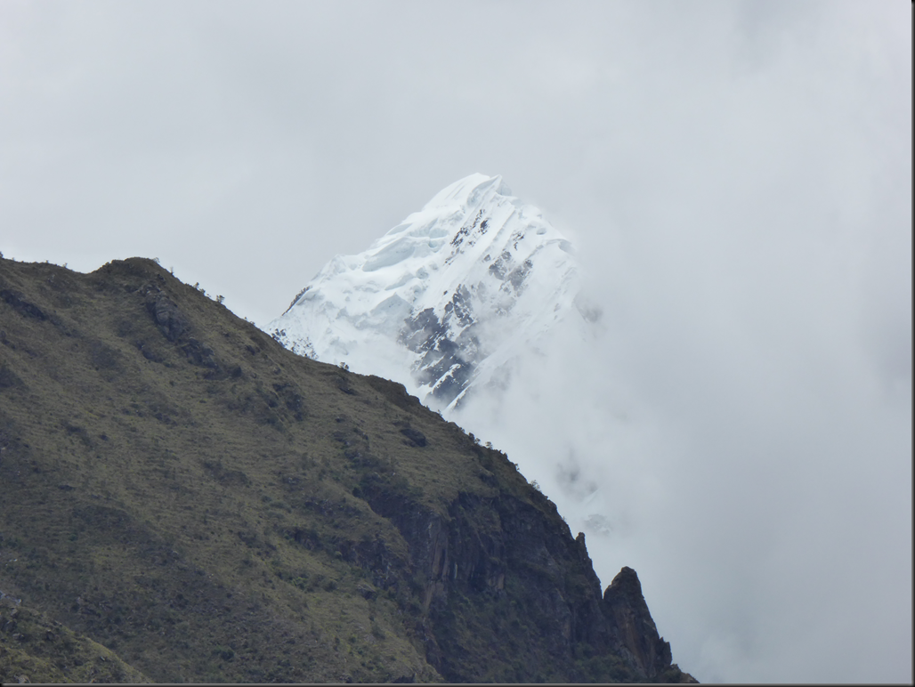
    A couple of the snow tops were visible for a few minutes before going back behind the clouds.
    image

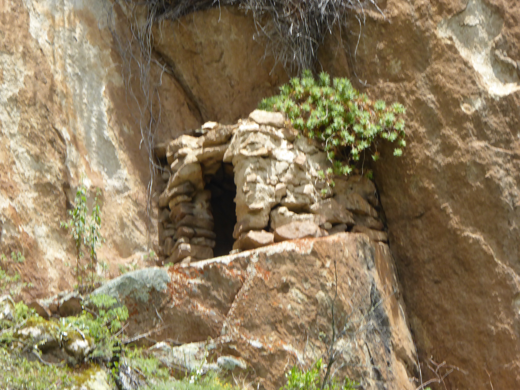
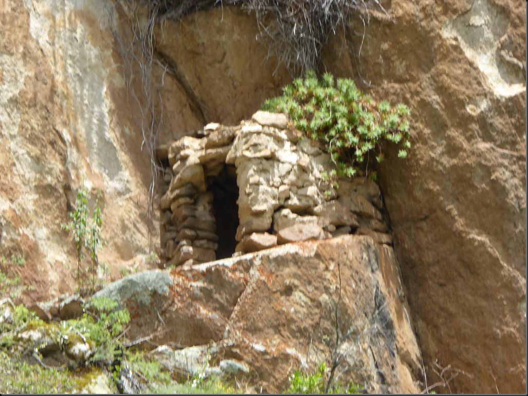
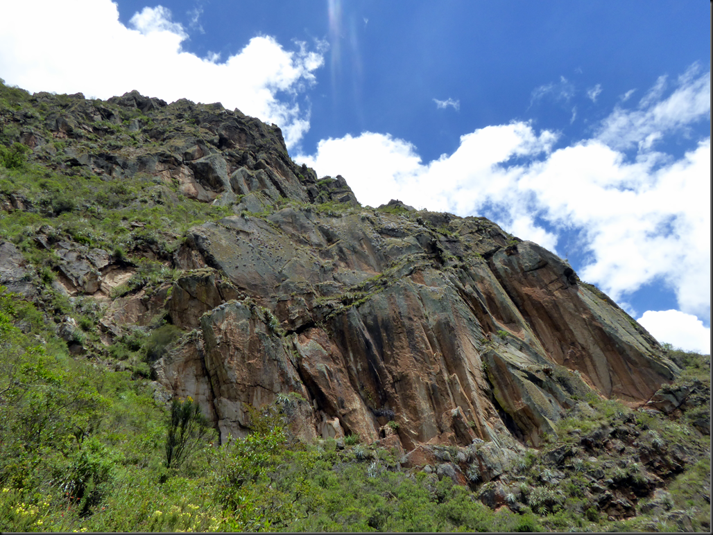
    In the hills there were many Incan tombs. Some of them are in natural caves, but others were built out of stone.
    image

    They blend into the mountains. The one above is in the bottom middle of this picture.
    image

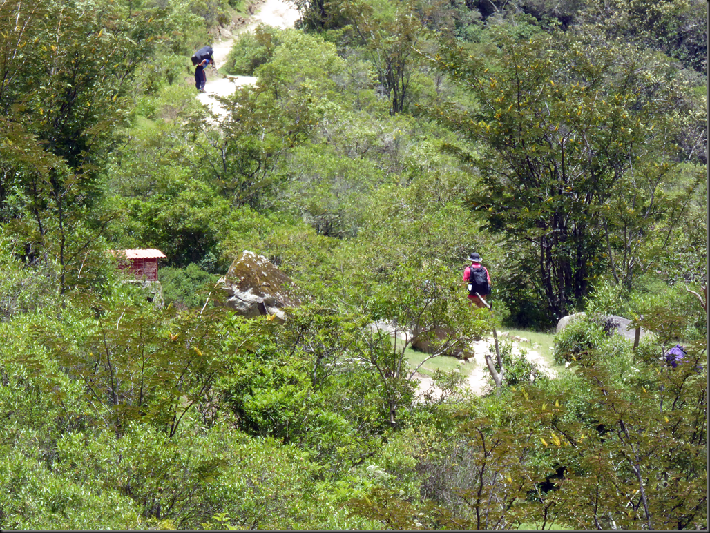
    The path was more or less flat the first day, but near the end it began to climb.
    image

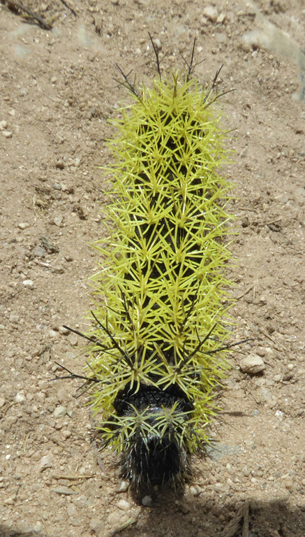
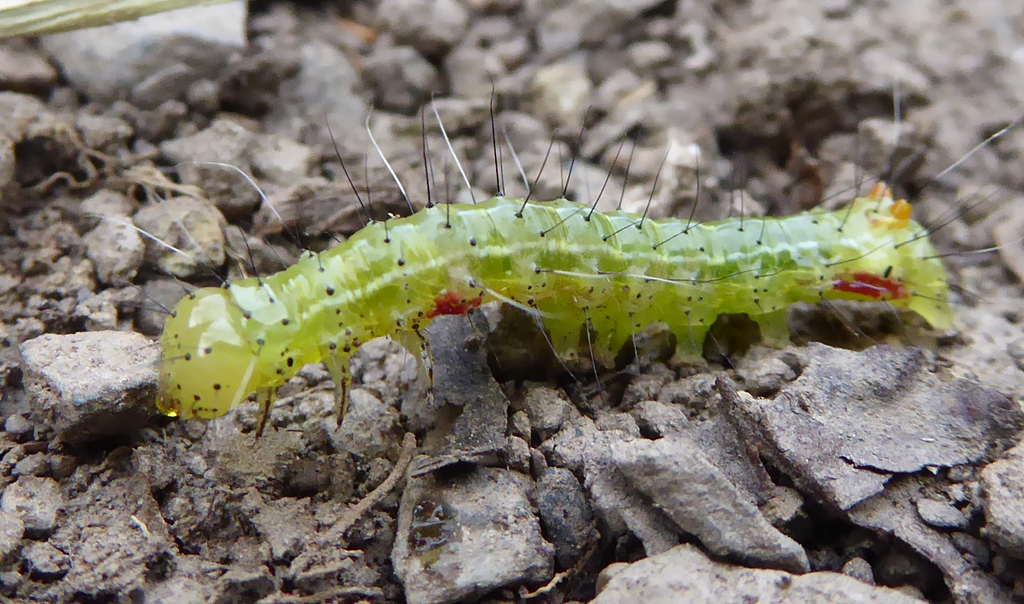
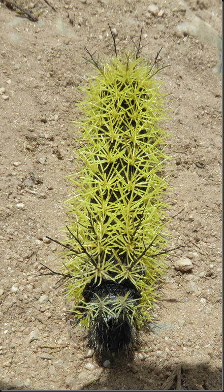
    There were lots of brightly coloured spiky caterpillars.
    image

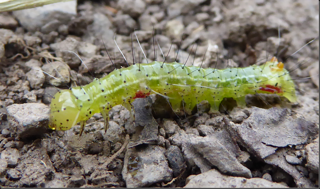
    This one was gooier with smaller spikes.
    image

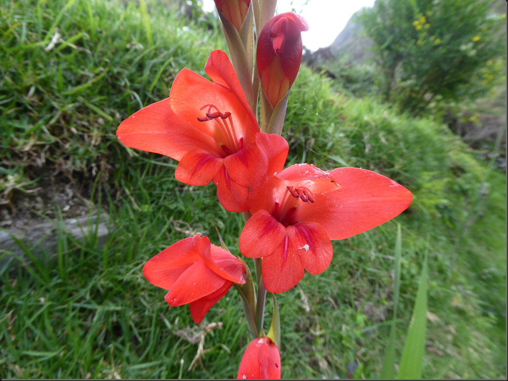
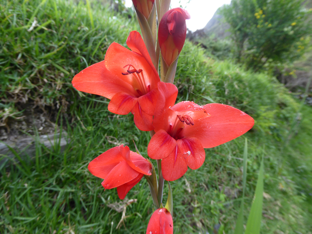
    There were also pretty flowers.
    image


  • Our Inca Trail Team

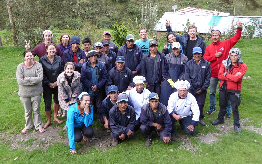
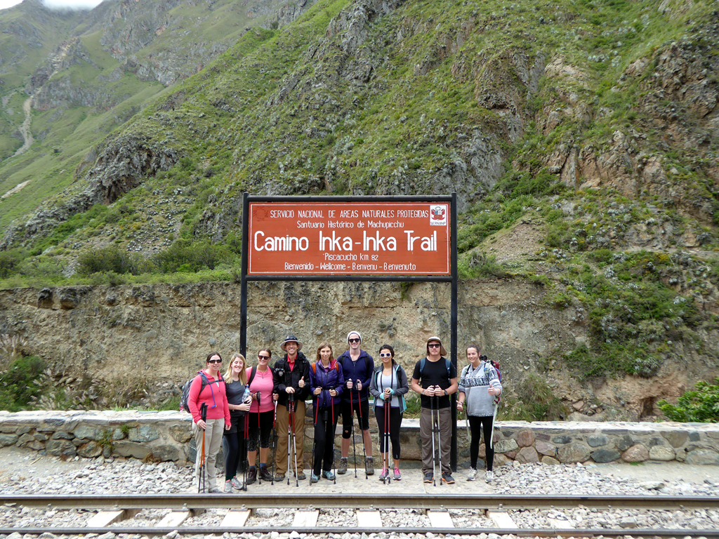
    Our team consisted of Roulionof, our guide, Frank, the assistant guide,  17 porters including the cook and assistant cook, and the 9 of us.

    image

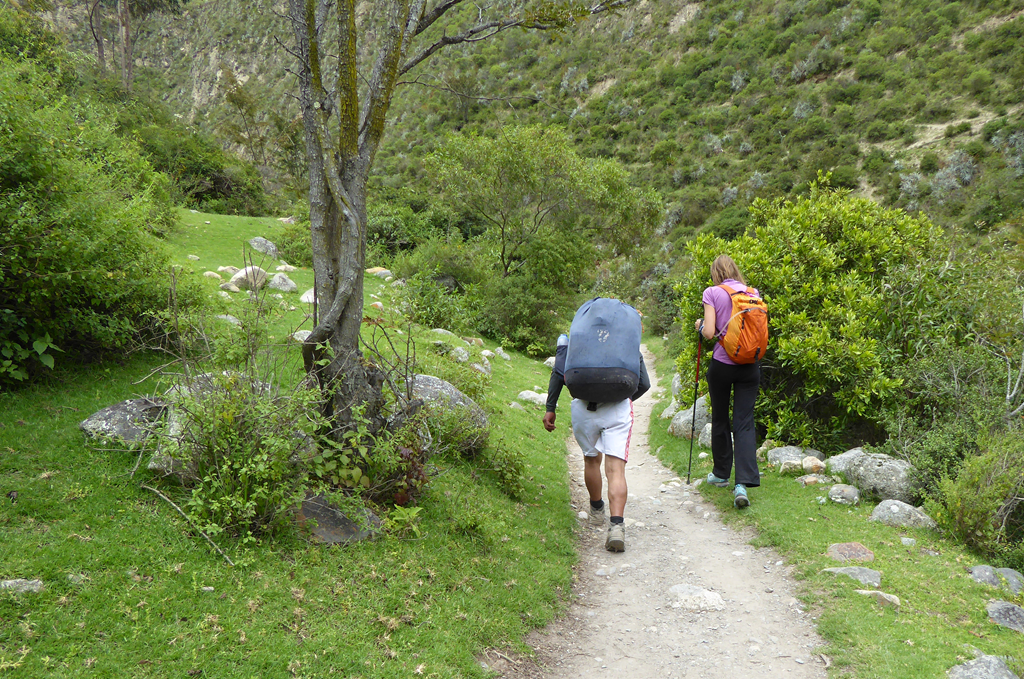
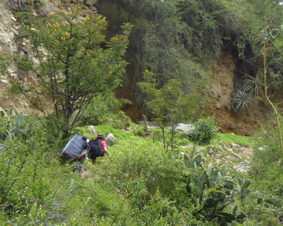
    The porters carry 25kg each and generally ran past us on the trail. The youngest porter was 19 and the oldest was 58.

    image

    A tour provider in Cusco told us they make about $10-$15 American per 4 day  trip, plus tips. The company we booked with is supposed to pay better, but we don’t know how much. We tipped about $20 American per porter, the recommendation is about $16. A farmer in this area makes about $320/year on top of what his family eats, and the government pays about $2/hour for labour, so this is actually a well paying job in this area.

    image

    The porters are equipped with back supports, water bottles, sleeping pads, sleeping bags, and shoes provided by the company. They sleep in the food and kitchen tents.

    Most of the porters have never been to Machu Picchu. There is an alternate trail down to the train from the last checkpoint that bypasses the ruins. Because we got to Machu Picchu a day earlier than usual, and because one girl was sick and needed help, the cook and assistant cook were allowed to came along to help her out. It was the first time they had seen the ruins that they have helped so many tourists get to over their 200 or so trips they have completed.


  • Inca Trail

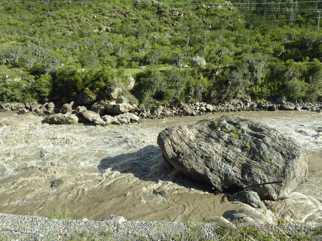
    For some reason Matt refused to tube down the Urubamba River to Machu Picchu.

    image

    And Kerri refused to take the train.

    image

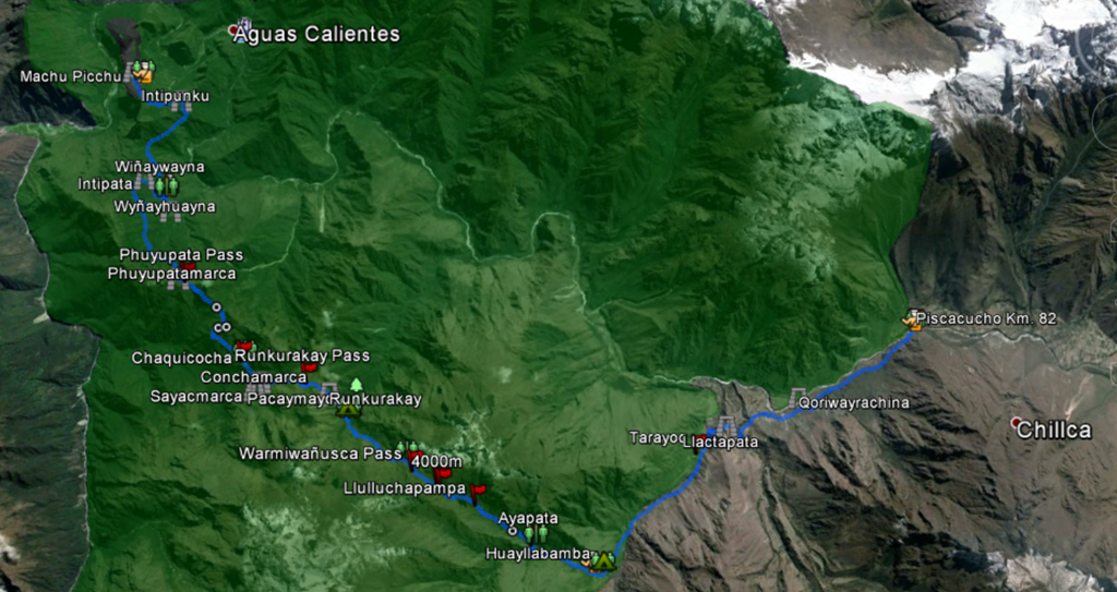
    So we decided to hike the Classic Inca trail.

    image

    It is normally done in 4 days, but last week there were some mud slides at the last camp site, so we had to do it in 3.

    image

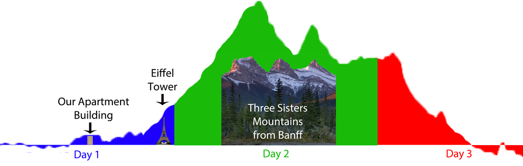
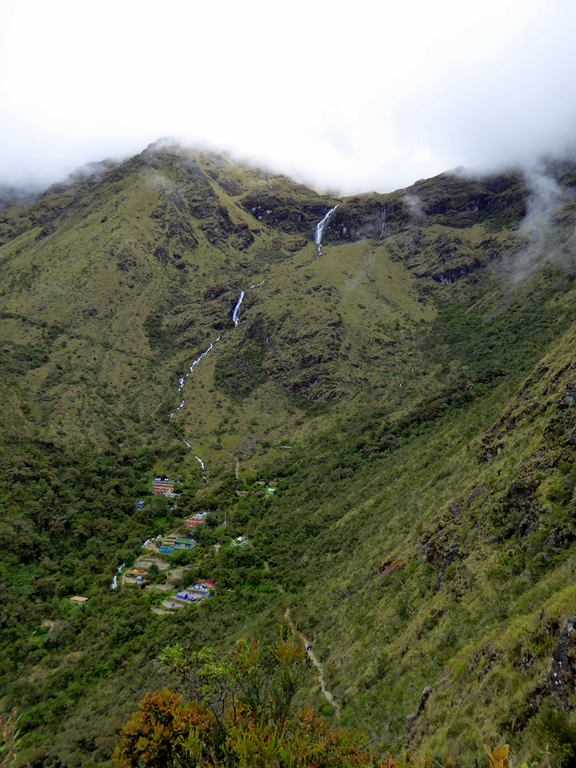
    The Inca trail is 42 km long, so it’s like hiking from St. Albert to Leduc.

    image

    If there were a couple of mountains between St Albert and Leduc.

    image

    The weather was great, despite it being the end of the rainy season. It only rained when we were safely inside our tent. And twice while we were in the lunch tent. And on the other side of a mountain while we were walking. But never on us.

    image

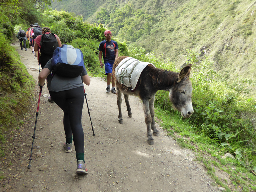
    Some people live along the first section, and horses, donkeys and llamas are allowed on it.

    image

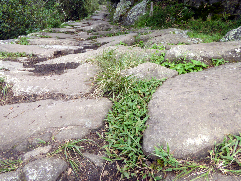
    Most of the second and third days are on the original Incan stone paths, so animals are not allowed. Only 200 tourists and 300 porters per day are allowed.

    image

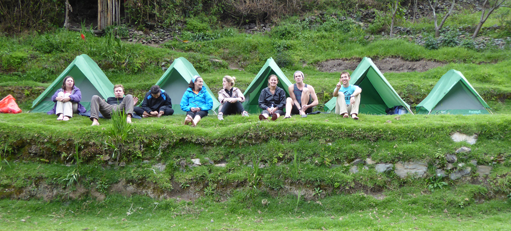
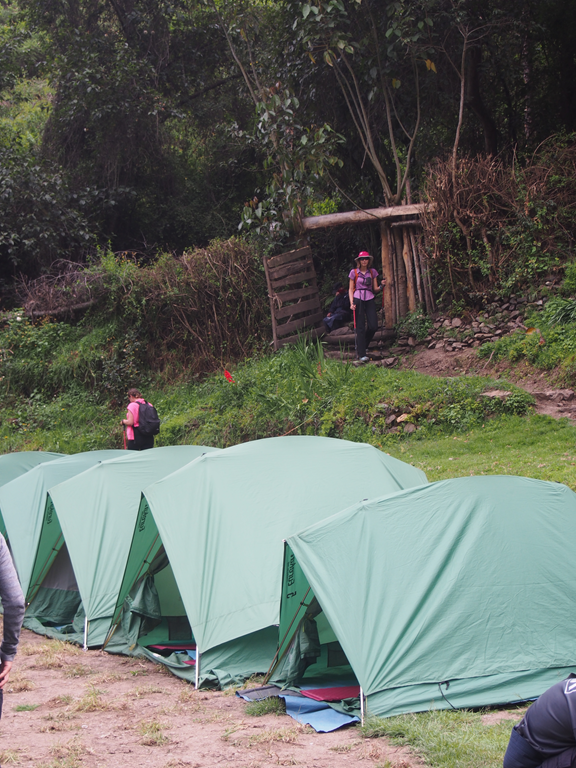
    Between hiking days we camped.

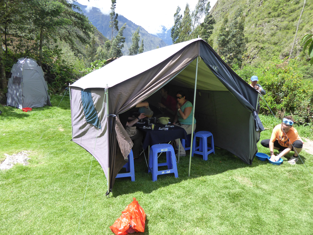
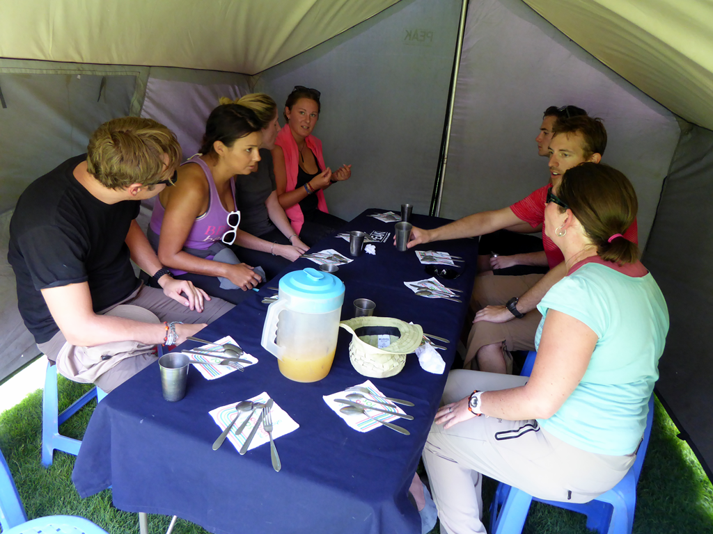
    imageThis is our food tent.

    image

    It was cosy and dry.

    image

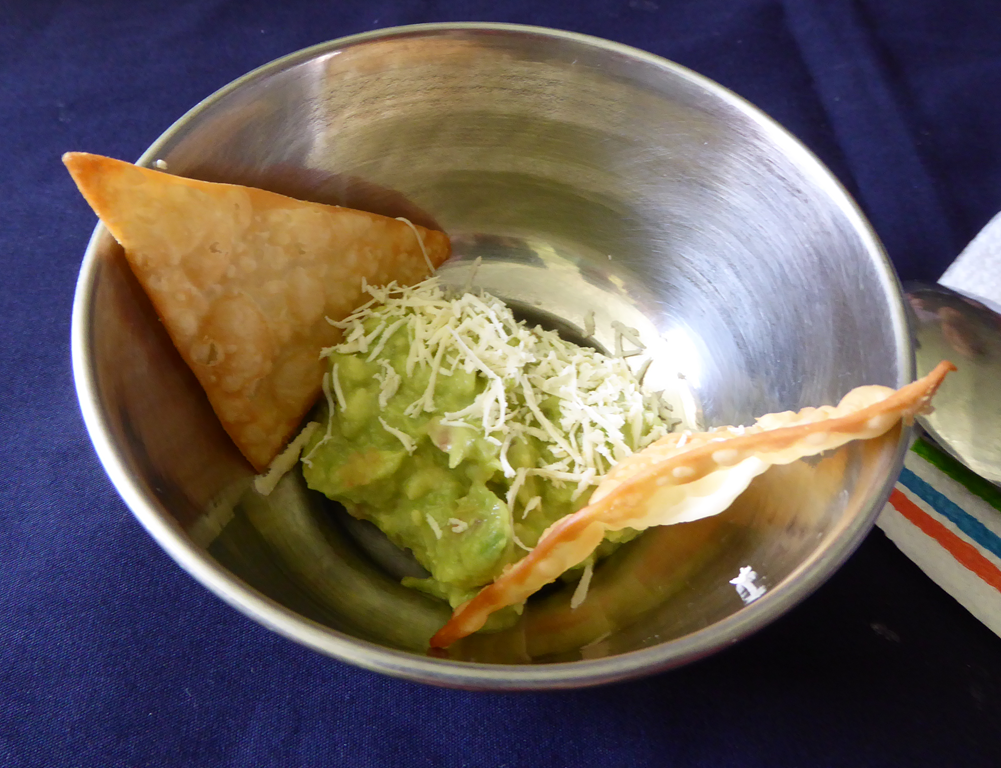
    The food was wonderful.

    image

    The sleeping tents had just enough room for the two of us and our stuff.

    image

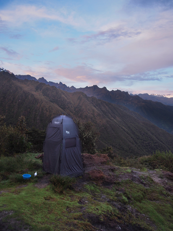
    This is our toilet tent. It contained a two toilet seats mounted on a buckets. One for #1 and one for #2.

    image

    This is one of the larger campsites.

    image


  • Ollantaytambo

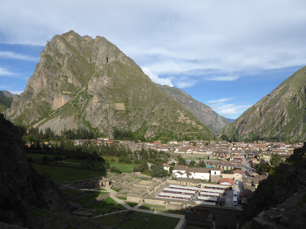
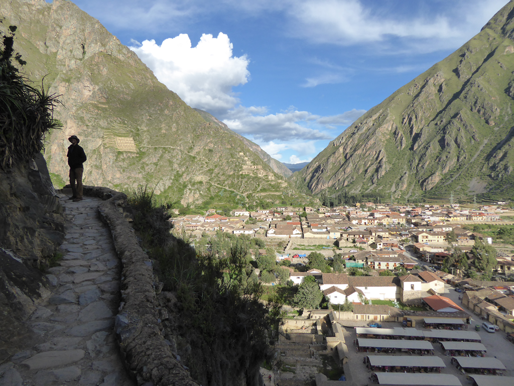
    Ollantaytambo is a pretty town located in the Sacred Valley. It was originally a large Incan city, and some citizens are still living in houses once owned by Incan nobility. However it also has many colonial and modern buildings.

    image

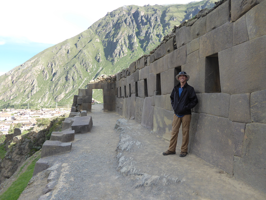
    This is the 10 window temple.

    image

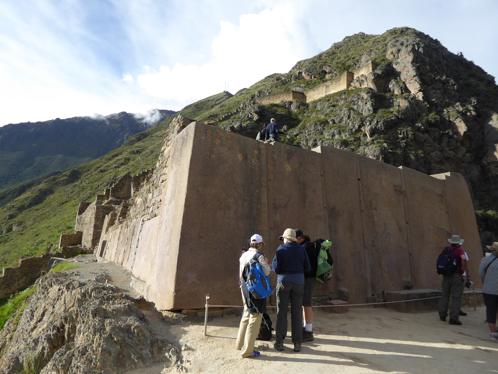
    This is the temple of the sun.

    image

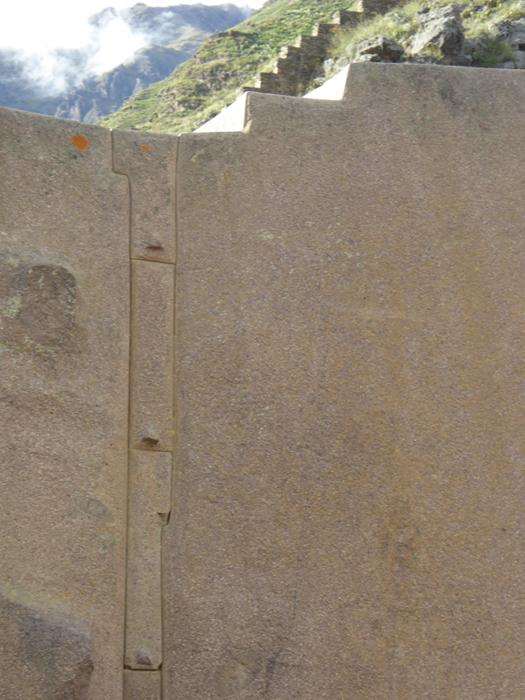
    It was made of huge blocks with tiny little blocks fit in between.

    image

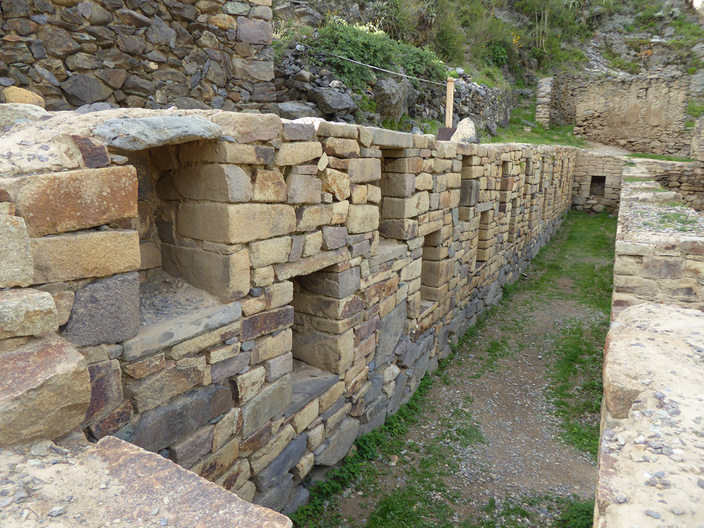
    This building had lots of niches  for storing sacred things.

    image

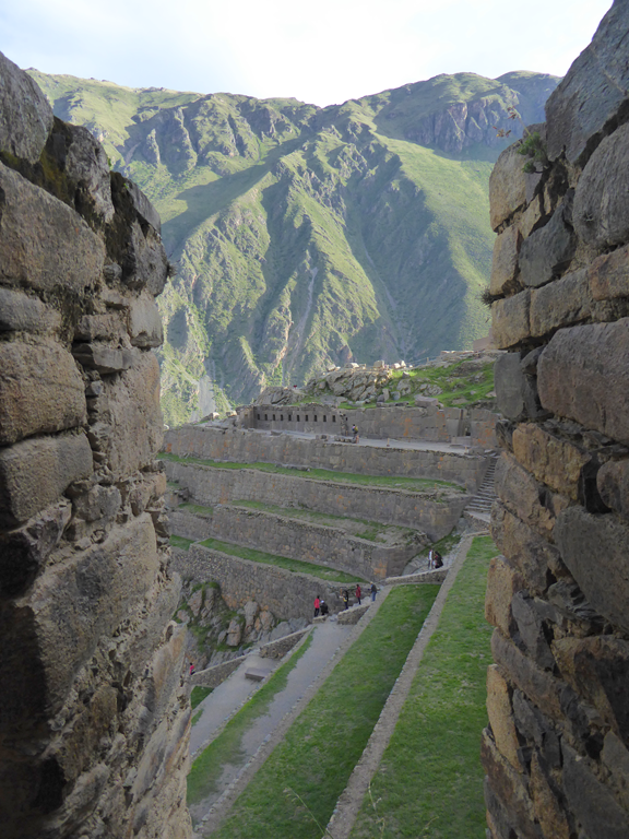
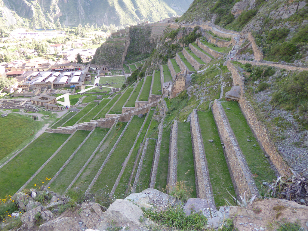
    The terraces at Ollantaytambo were likely planned out to look pretty.

    image

    But they were also important for farming to feed all of the people in the large city.

    image

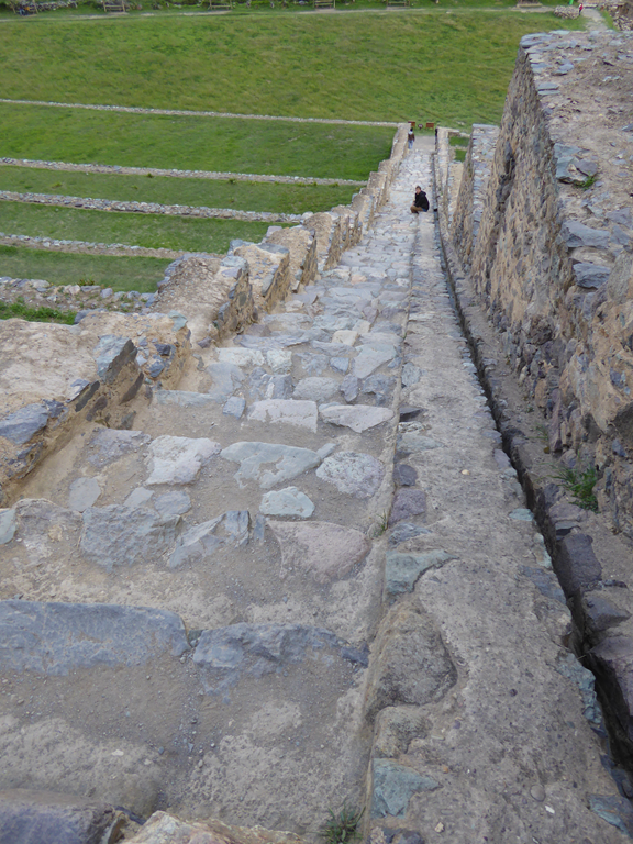
    The terraces were much bigger than they look.

    image

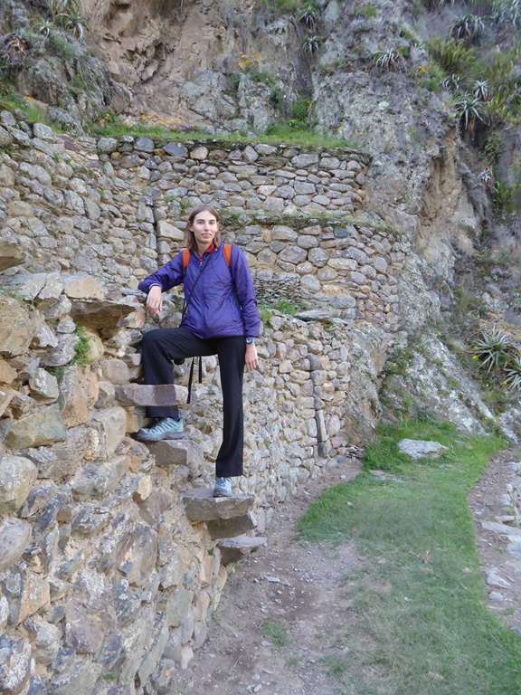
    There were floating steps on the walls to help people walk between them.

    image

    They also continued around the corner of the main valley.

    image

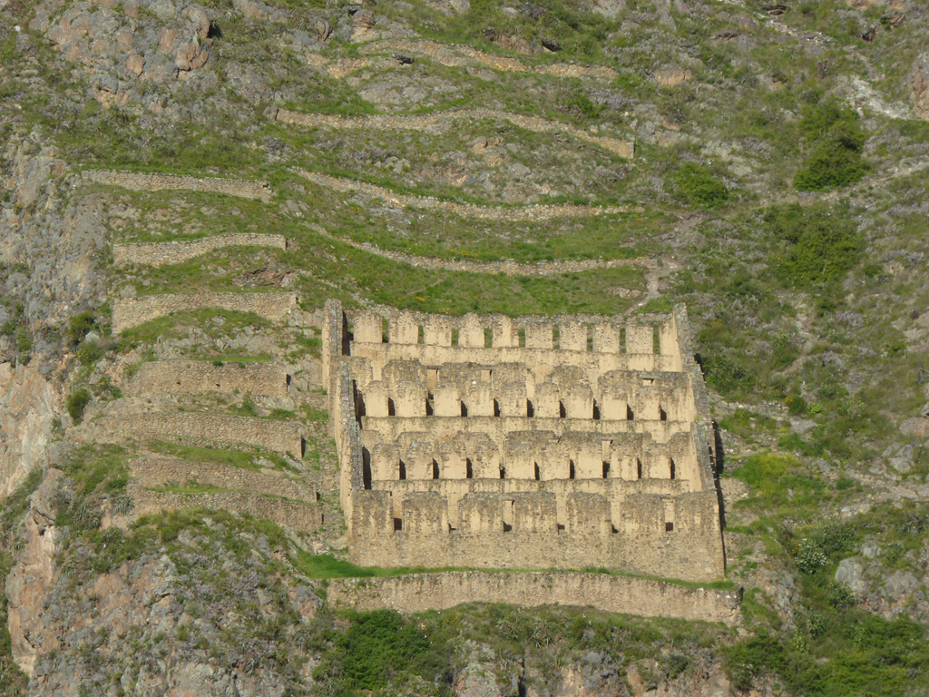
    These are storehouses built on the mountain across from the temples. They were built high on the hill to prevent enemies from stealing grain and to keep them cool so that the grain did not spoil. They also had gravel underneath for drainage, which allowed grain and potatoes to be stored for up to 2 years.
    image

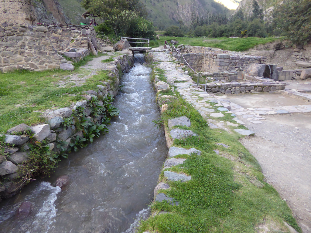
    The canal for irrigation was really large to support all of the farming. They also run through all of the streets of the city.

    image

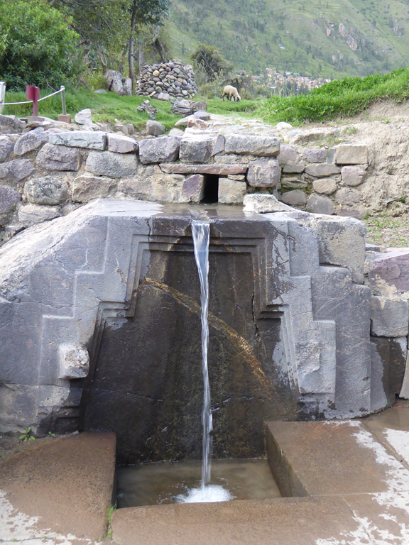
    There were also many really elaborate fountains.
    image